Summit Run Indrahar, McLeod Ganj, Himachal Pradesh, 14.10.2023
Please note that this report is written from the perspective of a foreign runner visiting India.
Somewhat unexpectedly, I had a business trip to India coming up in the autumn, which was due to last 12 days. In other words, there was a weekend during which I could either stay in Delhi or take part in a suitable running event in a more idyllic location. As I was already familiar with Delhi and still had a vivid memory of the air quality – which is of limited benefit to runners – I set out to explore the Indian running community, which was new to me.
At first, I was taken aback. There seem to be plenty of marathon events in India. The main hub for these is the registration site townscript.com. However, if you look more closely, you realise that even the shortest of city runs is advertised as a marathon, so the choice – especially for a specific weekend – quickly narrows down. In the end, I find just one race – in faraway Pune, no less – but you can only take part if you’re an ‘Indian Citizen in Good Standing’. The reason is presumably that the race is organised in collaboration with the local military academy and takes place on its grounds. I remember that there are mountains to the north and come across the Kathmandu Marathon in Nepal. That sounds great, but my subconscious is once again shouting “air pollution” – Kathmandu is, in fact, the city with the worst air quality in the world after Delhi, Beijing and Lahore. Feeling a bit down, I do a search on the ITRA trail running website and hit the jackpot: the Summit Run Indrahar, a short run at the foot of the Himalayas, accessible by night bus or a short flight from Delhi, taking place on the Saturday of that weekend.
The Summit Run is taking place for only the second time and is organised with great care by the local expedition company Boots and Crampons, led by Chetan Sehgal and Romil Barthwal. It’s a sort of ‘skyrun’, involving an uphill climb and then the same route back down again. In terms of difficulty, there’s something for everyone, starting at an altitude of 2,000 metres with return routes of 10 km to 2,500 m, 16 km to 2,900 m, 20 km to 3,200 m or 30 km to 4,350 m. The latter route leads up to the Indrahar Pass, from where you can see the even higher mountains to the north. As I’m here on business, I decide to go for the 20 km route. Another argument in favour of the 20 km route is that I won’t have time to acclimatise, and that last year the fastest runner completed the course in 3 hours 29 minutes, the slowest in 8 hours 53 minutes, with an average of 5 hours 12 minutes, so it shouldn’t be too easy. Incidentally, the average time for the 30 km route was 12:06 hours, which would clearly be too much for me on a business trip. Registration is via Townscript and costs 50 euros, but the process is straightforward as all subsequent communication takes place directly via email and WhatsApp. This makes it easy to clarify that I can take part even without the formally required residence in India, and that my health insurance also covers India. Two months before the run, all participants are asked to send in a photo so that a personalised poster can be created for everyone. Shortly afterwards, the designs are already available on a file-sharing site. It’s quite interesting: you see lots of people running, but also photos of businesspeople or simply passport photos – a rather motley crew of what feels like 40 people, and at first glance, only men (in the end, there are 49 men and 4 women). At the same time, a WhatsApp group is set up through which further instructions are provided, such as the offer of hotel booking assistance, the equipment required for the run, or the exact schedule. Recent photos of the route are also shared – of the fresh snowfall, which is expected to melt soon, and of the newly applied markings. For a few days, it does resemble a typical chat group of nervous primary school parents whose children are going on their first school trip, where nobody is embarrassed to ask a question for the third time, no matter how strange it may be – such as ‘do you need trail running shoes?’ (yes), whether you can get the poles through security as hand luggage on the plane (no) or why the distance in the shared GPX file differs by a few hundred metres from the 20 km. But a close-knit community also emerges, where people offer to pick up a running vest from the local sports shop for one another, or to travel together from Delhi on the night bus, or to go for a training run together the day before. So it’s chaotic, yet important and unifying. Of course, you could find the official information yourself on the website or read it in the one key preparatory email, but this whole process takes on the feel of a family gathering that’s been planned together for a long time, where the anticipation is part of the programme. There’s even a group video call two weeks before the run for a personal discussion, though the timing didn’t work for me. Ultimately, there are no surprises when it comes to the schedule or kit, except perhaps that you should carry pepper spray in case bears turn up. Naturally, it’s hard to get hold of that in Germany, and even harder to get it past airport security, so I’ve only brought my animal-repellent whistle with me.
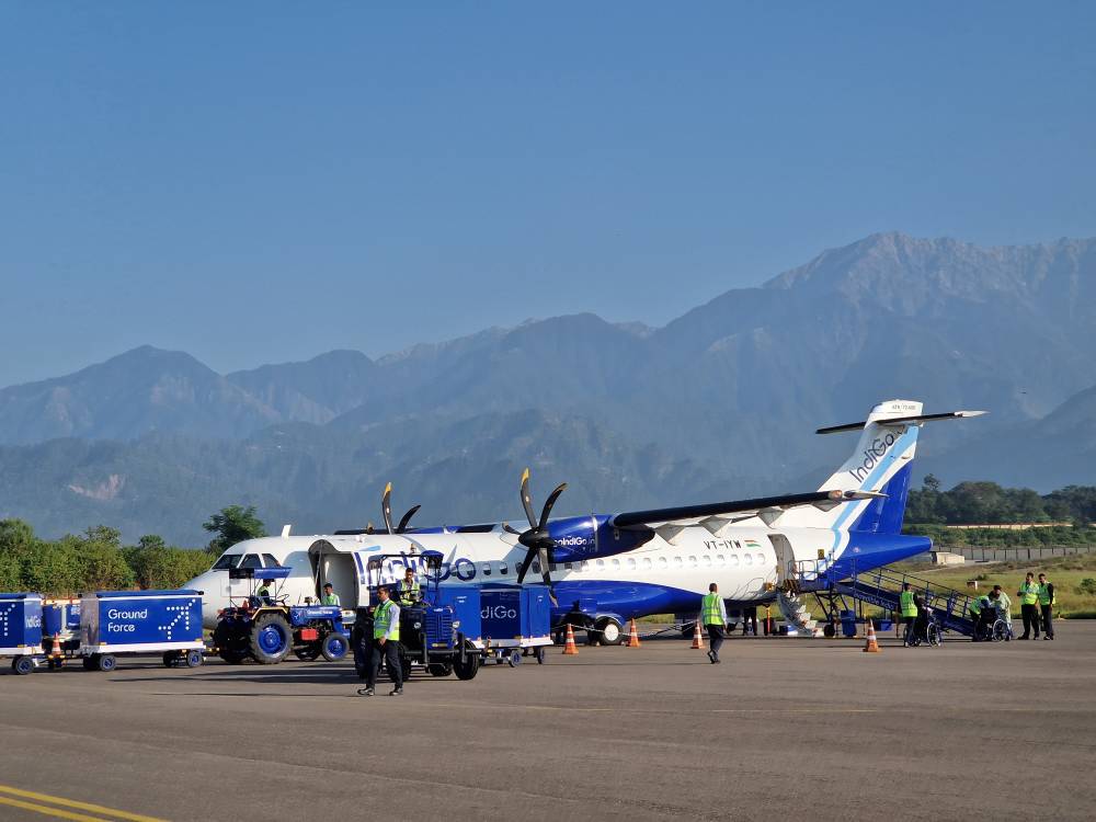
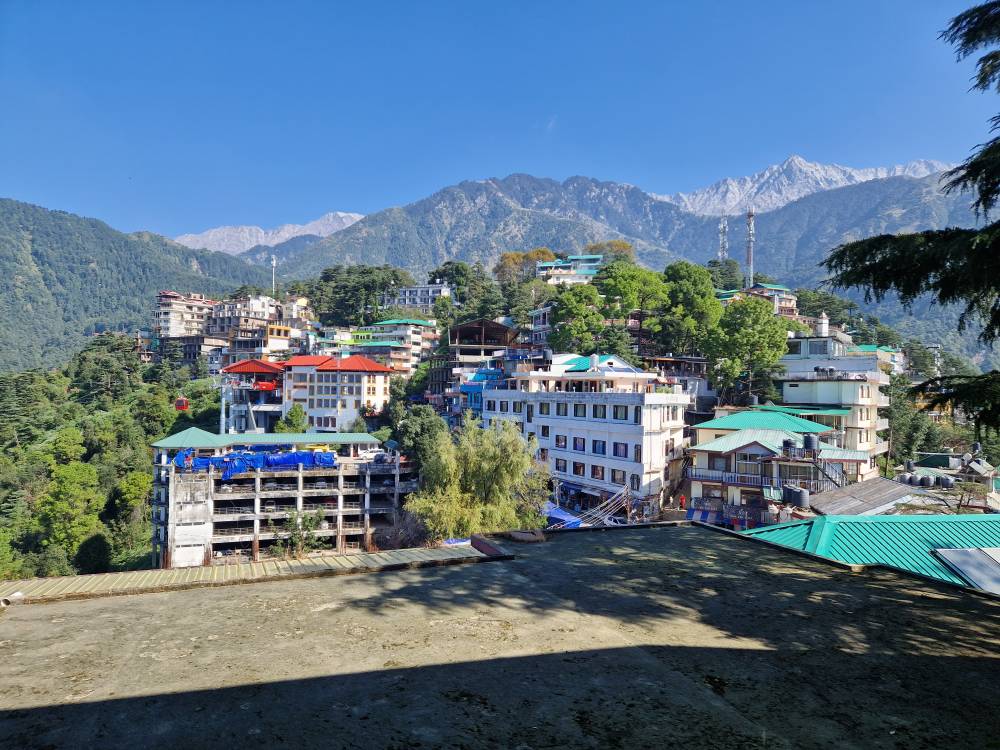
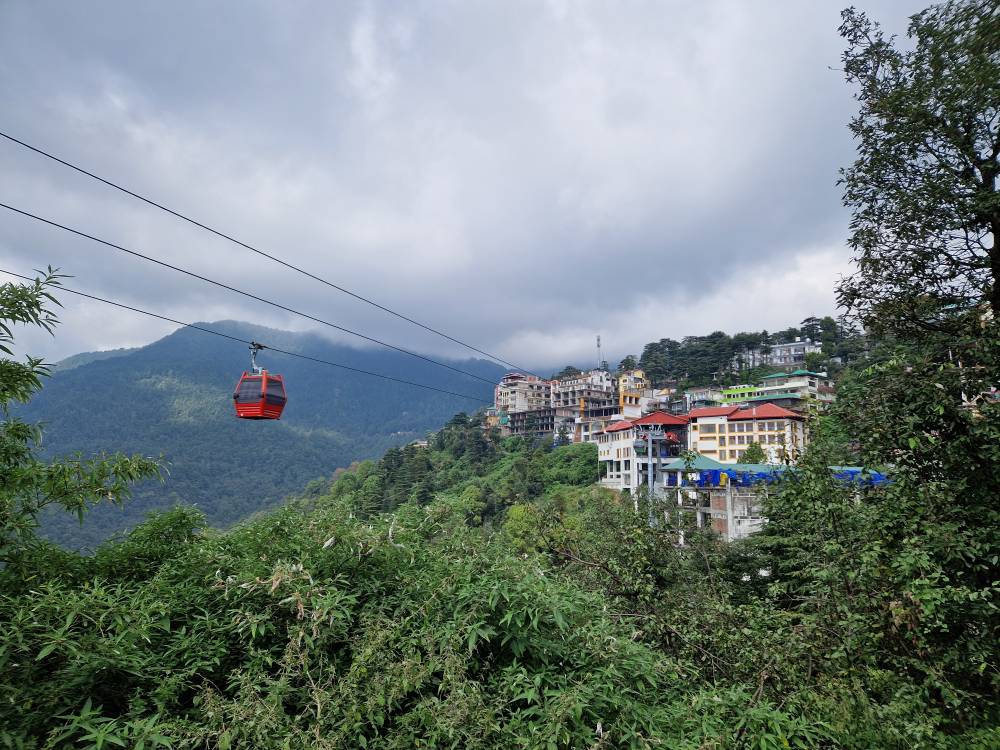
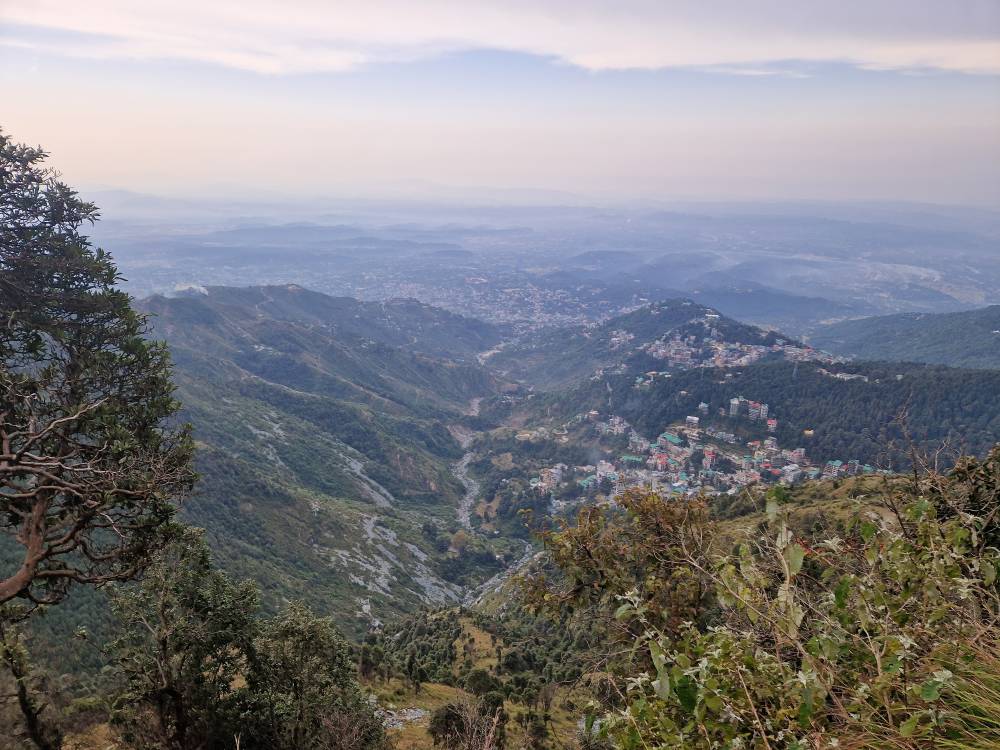
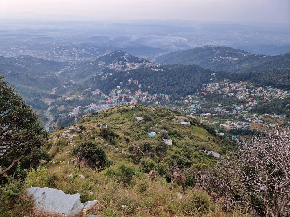
The starting point of the run is the Regional Mountaineering Centre in McLeod Ganj, a district of Dharamsala, near the northern tip of India. Dharamsala, with a population of around 30,000, is a regional centre situated at an altitude of 1,500 metres; McLeod Ganj is a settlement clinging to the rather steep hills above it at an altitude of around 2,000 metres. A cable car has been operating between the two since 2022. However, if, like me, you’re coming from Kangra Airport, you have to tackle a total climb of 1,300 metres by taxi – an extremely steep ascent along roads, or rather tracks, that in Germany would be considered single-lane, but which the driver masters with great elegance, without a single bump or scratch, with the help of the horn and frequent spinning of the wheels.
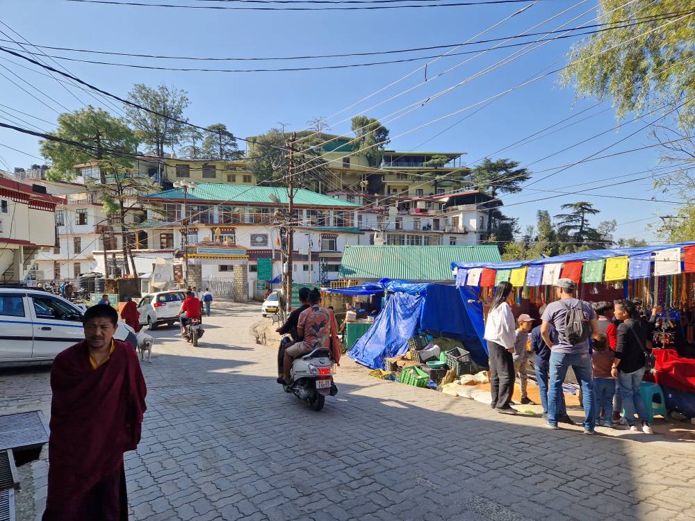
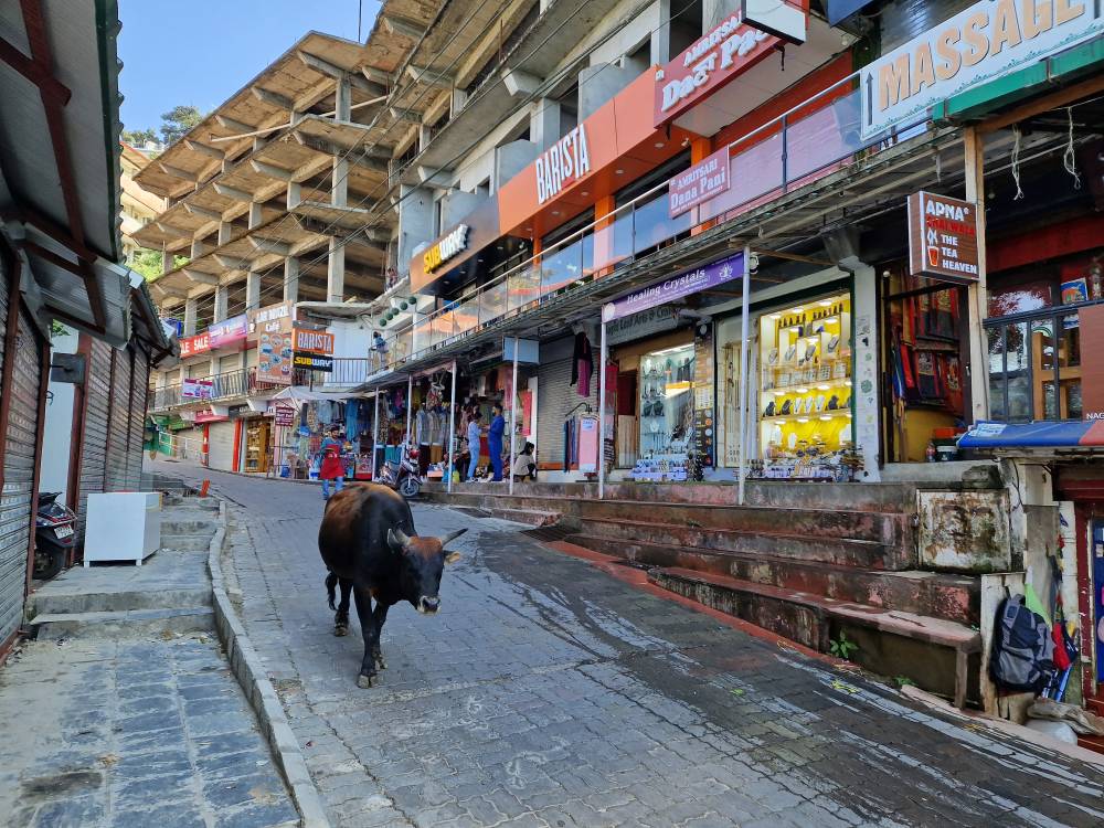
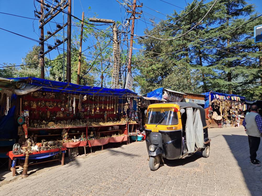
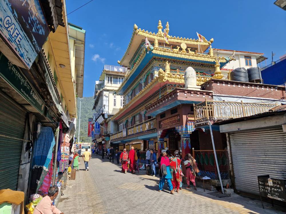
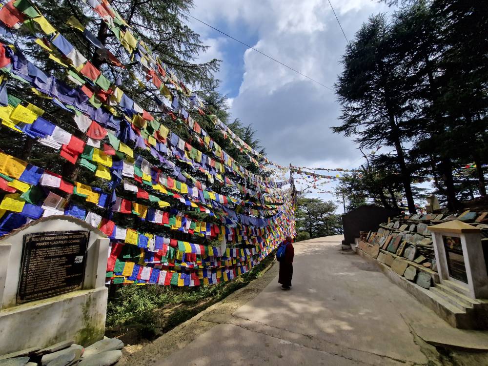
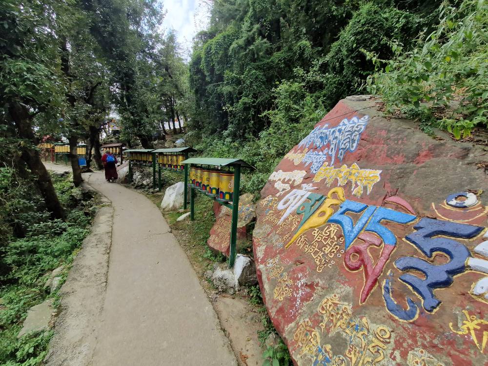
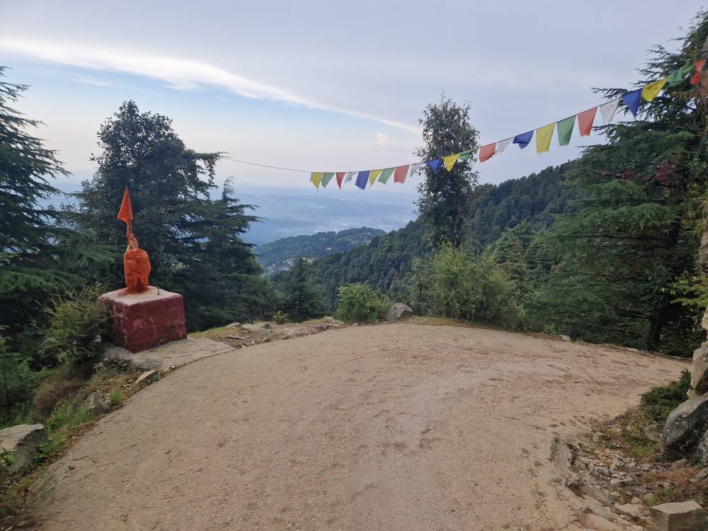
As well as the beauty of the area, the place is of religious significance. On one hand, it is historically significant for Hindus; on the other, for the past half-century, it has been important for Tibetan Buddhists, whose main settlement in India is located here – including the Dalai Lama and many Tibetan organisations – so much so that the place is nicknamed ‘Little Lhasa’. This is also very evident in the townscape, not only through the temples, prayer wheels and prayer flags, but above all through the Tibetans themselves. Some wear dark red monk’s robes, more still wear traditional striped clothing that stands out clearly from the Indian saris, but most are dressed in a Western style. The local economy relies primarily on tourism, particularly from people on a spiritual quest, and to a much lesser extent on trekking groups. Dharamsala is also home to a paragliding centre. As well as food, the shops mainly sell Tibetan clothing, all manner of religious items and souvenirs. Most of it is quite tasteful, as are the numerous wonderful restaurants. Once darkness falls, the streets feel even livelier than they do during the day. All in all, it’s a place brimming with North Indian intensity: narrow lanes teeming with people from a wide variety of ethnic groups, lots of cars, three-wheeled auto-rickshaws and small motorbikes, constant honking and shouting, plus cows, dogs and even monkeys, accompanied by the intense smells – the delicious ones from the restaurants and the not-so-appetising ones. Unlike in modern Indian cities, it feels as though you’re on a completely different planet.
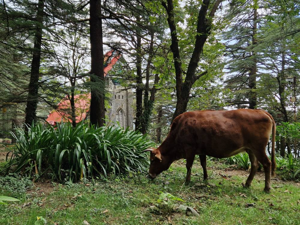
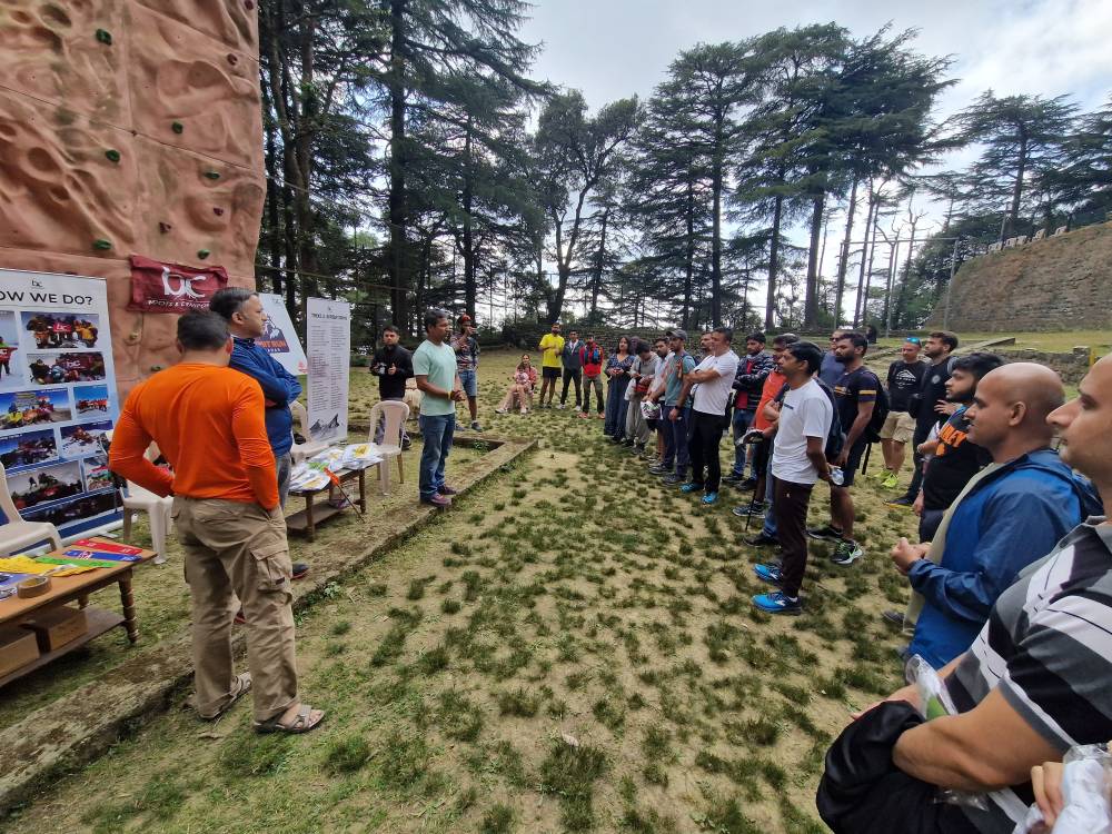
Incidentally, the town’s somewhat odd-sounding name translates as ‘Mr McLeod’s neighbourhood’, named after a mid-19th-century governor highly esteemed by the local population, who both promoted local culture and was regarded as a model of Christian charity. In the courtyard of the old Anglican church there, ‘St John in the Wilderness’, a cow that has strayed from the main road is, as if by chance, grazing peacefully – a fitting symbol of the peace between religions found here. At the race start point, race numbers are handed out and equipment checks carried out the day before. This is actually helpful, as it gives you a chance to actually meet the other runners, but also helps you get a better feel for this very unfamiliar and strange area. Very few participants are here for the shorter distances; almost half are here for the 20 km and the other half for the 30 km. Everyone seems quite relaxed; there are relatively few ambitious competitive athletes. There are at least five foreigners taking part: apart from me, there’s another German, two Swiss and an Italian. The other four are all on extended holidays in the area and some of them know their way around very well. So the place seems to hold a certain appeal for those in the know. Incidentally, in my mid-50s, I clearly belong to the ‘senior’ group of participants, which is perhaps simply because India has a significantly younger population than Germany and so most participants are likely to be in their 30s. As well as the information, there are some goodies on offer: a running shirt, a winter hat, and, at the end, a really beautifully made medal. Everything – including the fantastic organisation – is, given the scale of the event, far beyond what one would have expected. I do hope word gets round and that significantly more participants join in, at least from India.
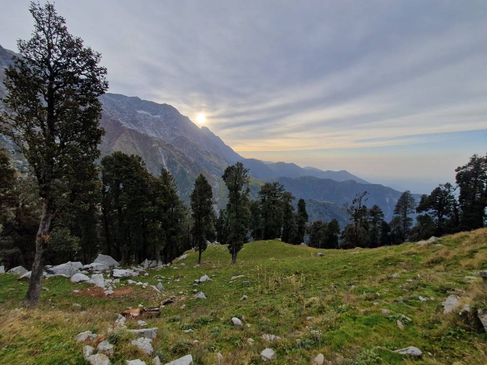
In the afternoon, I’m mainly trying to avoid upsetting my stomach, which isn’t uncommon in India and can lead to complete exhaustion in a short space of time, as I’ve found out the hard way myself some years ago. So for me, it’s just oat biscuits, water and Coke. Tibetan delicacies will have to wait until after the race. We’re also going to bed early, as the start on Saturday is at 4.30 am – which means getting up at 3.00 am, presumably to ensure everyone gets back safely before nightfall. The cut-off times are set generously accordingly, and headlamps only need to be used for the first hour and a half. As a bonus, you get to experience the sunrise. The aid stations are located at 2, 5, 8 and 10 km, and then in reverse order – a very convenient frequency should any problems arise. In addition, there are four emergency telephone numbers, two of which belong to people with military ranks, so you can be confident that everything is managed very professionally. There’s mobile phone reception along almost the entire route, so you shouldn’t get lost.
Unfortunately, the night isn’t quite so great, as although the village itself is very quiet, there seems to be a dog in almost every house, which spends the whole night barking at the neighbour’s dog and so on. So I hardly get a wink of sleep, but they do say that a certain amount of tiredness isn’t necessarily a disadvantage in long-distance runs. At midnight, I receive a message from the Italian lady saying that she’d come down with food poisoning that afternoon and had only just been discharged from hospital. So, unfortunately, she couldn’t run, but at least she’d recovered well over the course of the day.
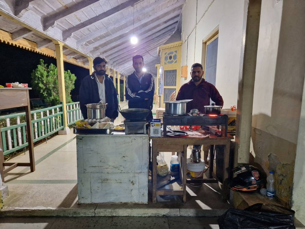
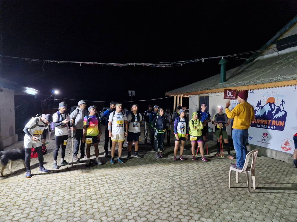
Right on time at 4.30 am, around 25 runners are standing in the dark, going over the general instructions for the run once more. Tea is served, along with a few light snacks. It’s about 15 °C, so some are standing there in long trousers, a jacket and a hat, whilst others are in shorts and just a running top. I’m one of the optimists and I don’t regret it. As it’s slightly cloudy, it doesn’t really warm up, and there’s a bit of a breeze at higher altitudes, but the physical exertion more than makes up for it. However, the runners dressed more warmly are also happy with their choice. As for footwear, I’m extremely satisfied with my choice of a stiffer sole for technical runs, though there are also runners in barefoot shoes who merely complain about a bit of moss – and consequently slippery conditions – at lower altitudes, and there are participants who have turned up in hiking boots straight away.
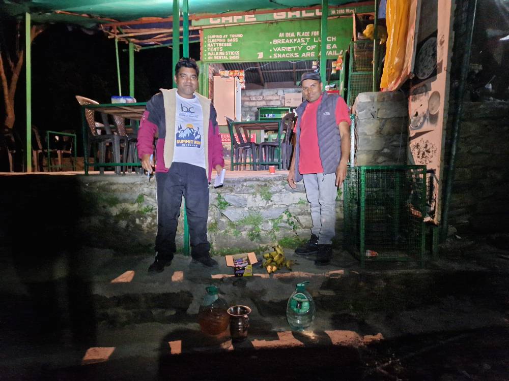
To begin with, it’s dark, above all. Even 25 headlamps, which are quickly spread out, don’t make much of a difference. To keep spirits up, a lady has a small boombox playing from her rucksack – Punjabi pop isn’t actually that unsuitable for running, and it’s less of a distraction in the dark than when you’re busy taking in the scenery. After 2 km, the first refreshment station does indeed appear, offering water, electrolytes, bananas, dates, Snickers, etc. Very friendly people who have volunteered to get up so early, even though there are neither large crowds nor any superstars to be seen. The number of volunteers is probably higher than that of the runners, which naturally contributes very positively to the personal nature of the event. I always have a little chat and, above all, express my heartfelt thanks.
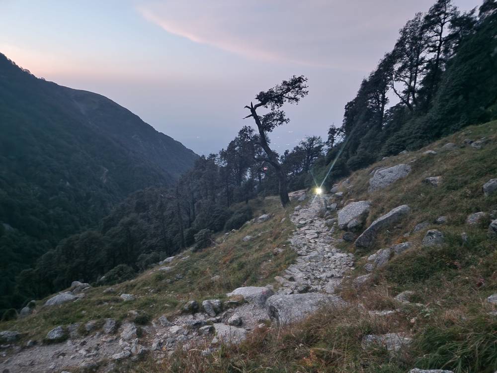
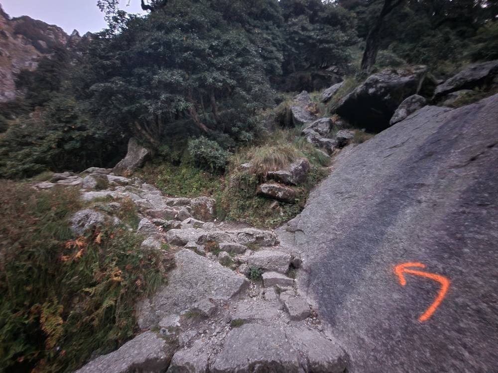
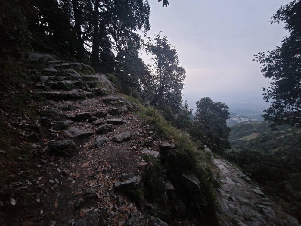
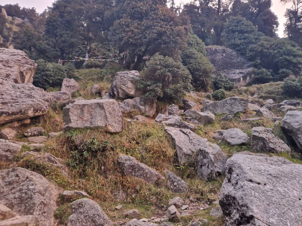
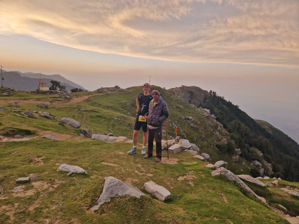
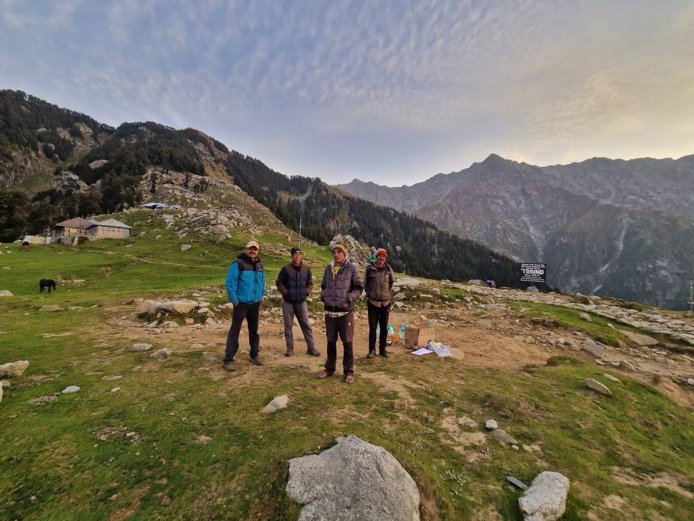
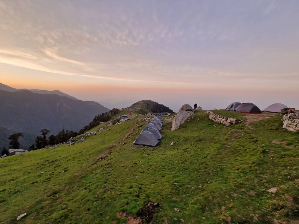
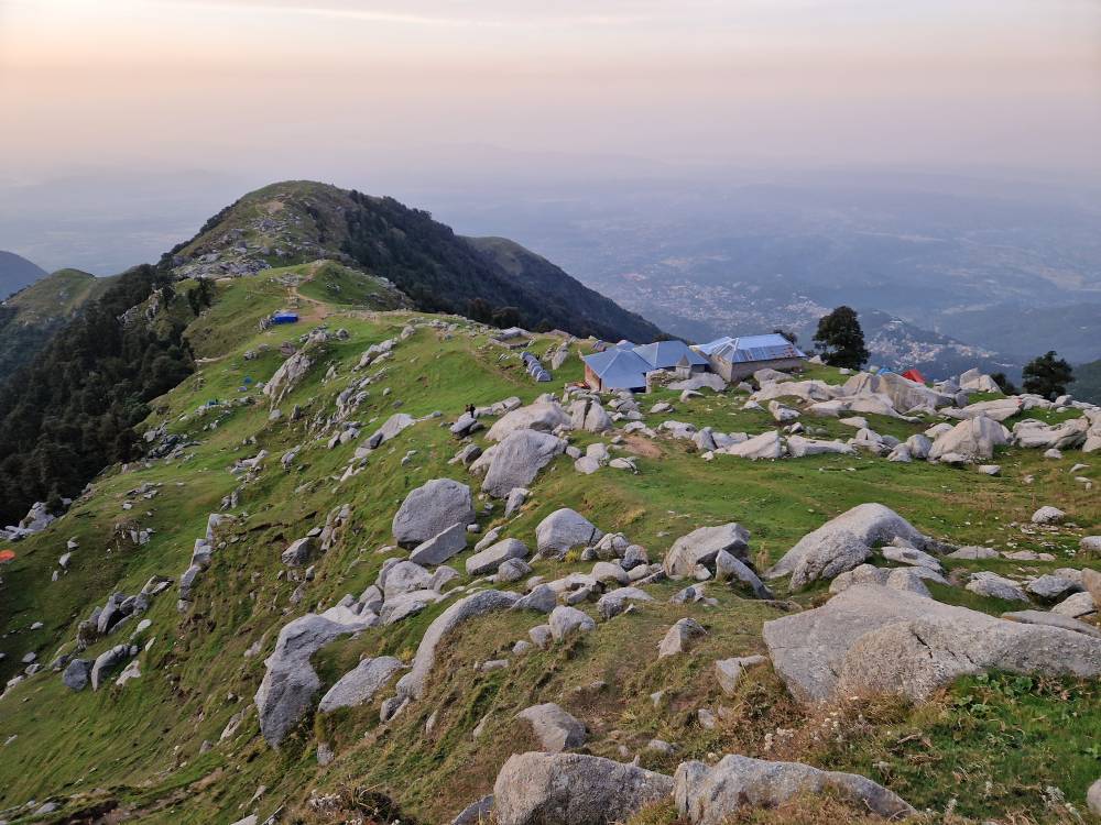
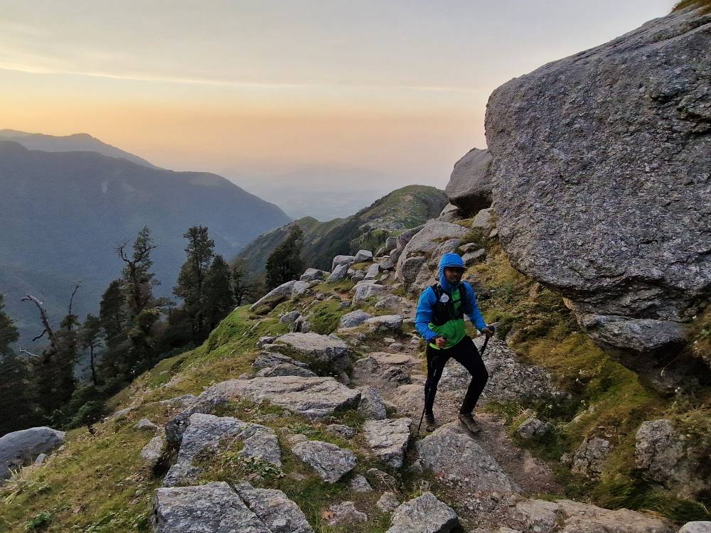
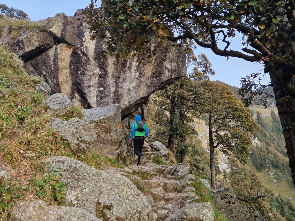
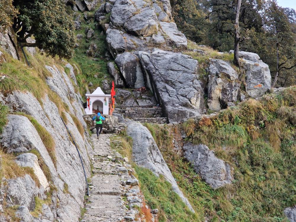
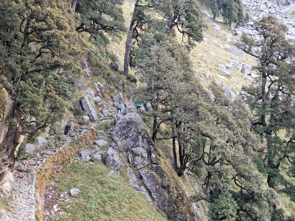
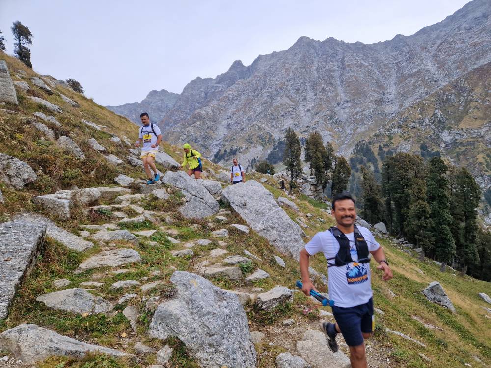
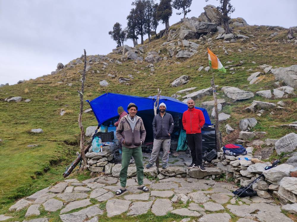
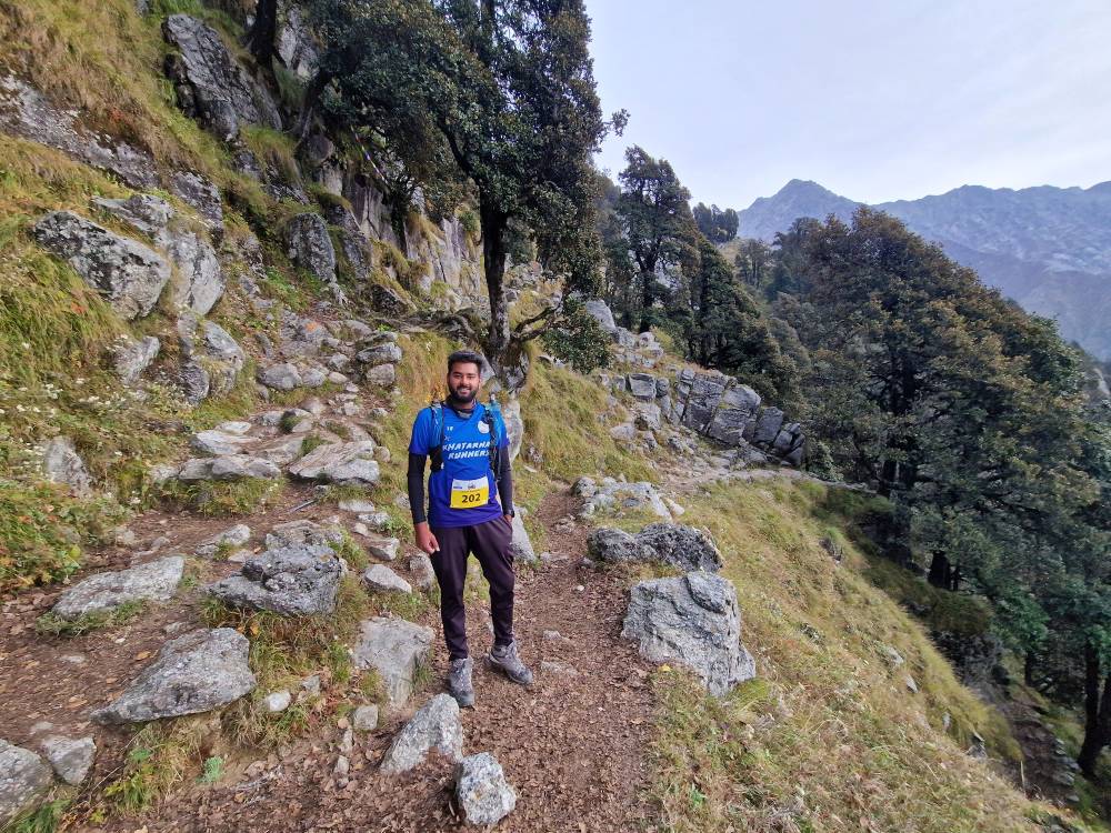
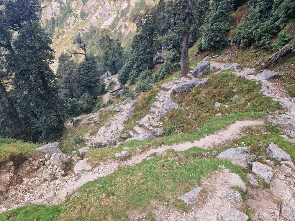
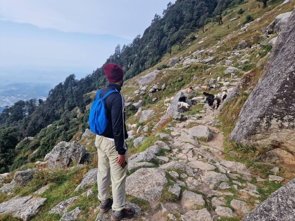
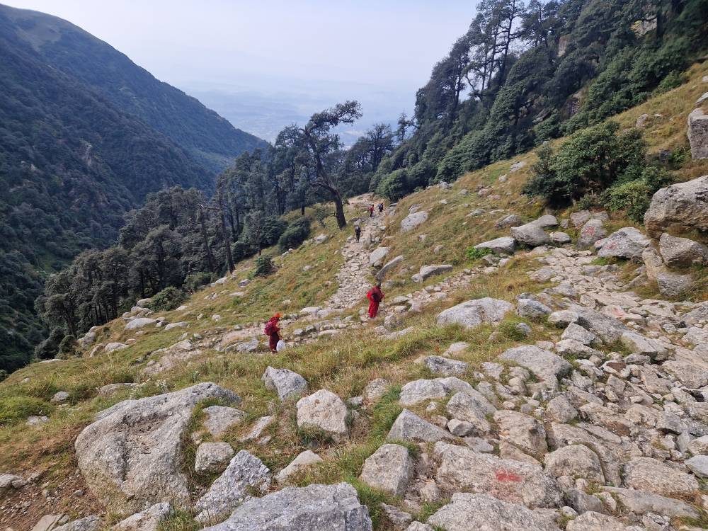
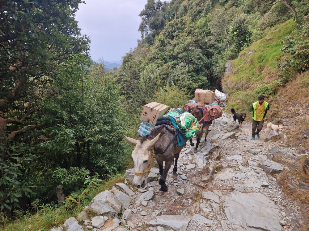
The route then transitions from paths that are still passable by vehicles onto the trail, which consists mainly of stones and rocks that increase in number and size as you go higher. It’s dry and the stones are fairly flat, so you really have to watch where you step. And make sure your poles don’t get caught between the stones. For the first few kilometres, the trail was artificially reinforced by stabilising the edge of the steep slope; the upper section is completely natural. Although the route is generally very pleasant, it is, above all, steep. You might walk for 20 or 50 metres, only to feel as though you’re no longer even hiking, but climbing stairs. There are actually quite a few flights of stairs, and the height of the steps isn’t necessarily suitable for children. It’s really exhausting, and although my heart rate is at a relatively relaxed level, I’m still breathing rather quickly. But I suppose that’s also down to the lack of acclimatisation. At least, that’s what I tell myself, so as not to question my general fitness too much. At checkpoint two, it’s slowly getting lighter; checkpoint three is then at the rather well-known Triund Pass, where you can take in the whole view. It’s not as picturesque as you often find in the Alps, but rugged and wild. The volunteers at this station have spent the night in small tents on the mountain to ensure the runners are supplied with provisions in good time. Amazing. But then again, you can only get up here on foot. Any bulkier equipment is carried up by mule.
In Triund, I’m already seeing the first runners coming towards me, with the Swiss runners right at the front, just as I’d expected. Many of the faster runners, including those on the 30 km route who pass through an hour later, aren’t carrying any kit at all – the support is, after all, excellent and comprehensive – and they’re moving between the rocks with such sure-footedness, like gazelles, that I can only watch them go with envy.
The final stretch is a bit flatter, and the ‘Snow Line’ turning point feels more like a starting point for the truly alpine section that follows. For me, however, it fits perfectly with a finishing time of 5 hours, exactly as planned. What’s more, it’s slowly clouding over, so that by midday it’s even snowing up at Indrahar Pass. If you’ve got more days’ holiday, I’d still say you should tackle the whole route; with an early start, most trail runners should be able to manage it time-wise.
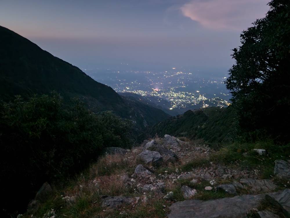
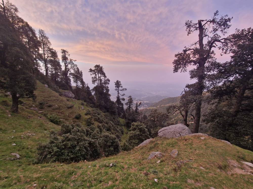
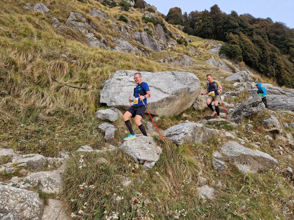
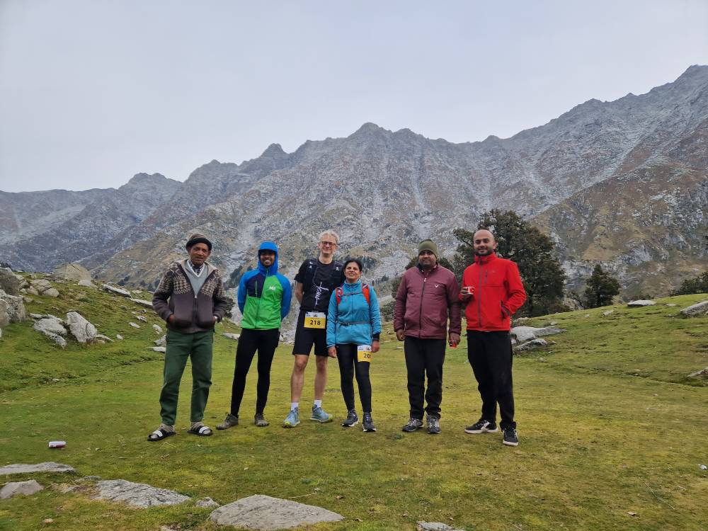
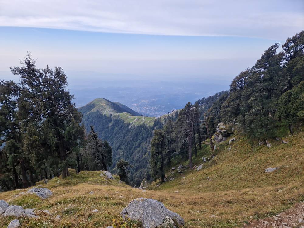
After a few group photos, we head downhill again, so you finally get a view downwards and there’s enough light to really enjoy it. Of course, it’s much easier going, or rather, you’re actually running properly for the first time, and both my legs and my knees – which are already under a lot of strain here – are holding up quite well. Overall, at my pace, it’s not too strenuous. I’ve got plenty of energy thanks to my gels, but as my stomach isn’t having much to do, I gratefully tuck into a Snickers bar, which keeps me going well until the finish. Halfway along the route, you start to come across the first weekend hikers. First a few monks, then tourists, then better-dressed families. Everyone walks for as long as they feel like it; there are even a few simple cafés open along the route now, providing refreshments. And along the way, you also come across all sorts of wildlife – cows roaming freely, goats with their herders, and mules. You don’t see any monkeys, you just hear them sometimes. Fortunately, there weren’t any bears around.
On the final few kilometres through the built-up area, I actually managed to get lost – or rather, to stray from what was actually a very easy route to follow – and end up doing a little detour of 2 km. It was a good thing I’d tracked the route on my mobile, so that I eventually realised my mistake. Another runner seemed to have fared even worse and, lacking a GPS, had to be guided back onto the correct route using instructions over the phone. Emergency numbers staffed by people familiar with the area really are a blessing.
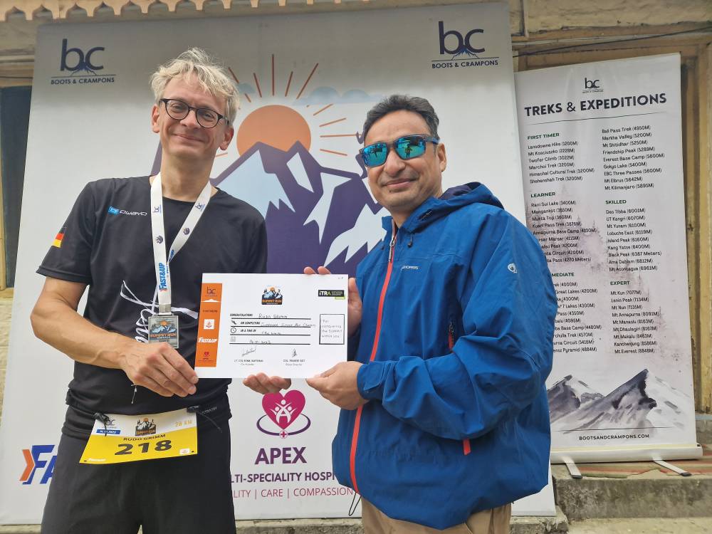
Naturally, there weren’t quite as many people at the finish line apart from the volunteers. With 25 runners spread over a time span of around 4 hours, the finish line wasn’t exactly crowded. All the more reason, though, for each runner to be greeted personally, receive a certificate filled in by hand by the race director, Col. Pradeep Bist, and their medal – and, of course, plenty of photos were taken once again. A few hundred of these were already doing the rounds on WhatsApp shortly afterwards. Incidentally, there were photographers not only at the finish line but also at various points along the route, so in a few days’ time there will be a huge amount of material available on Google Drive.
I take my time saying goodbye, drink a few cups of tea and eat a couple of homemade sandwiches, which seem to be nutritionally sound. We chat for a while longer and then it’s back to village life. Or rather, for me, it’s off to bed for a long afternoon nap. When you’re back at the hotel by 10 am after a trail run, you might as well treat yourself to a lovely rest – followed by a delicious meal: lamb-filled dumplings in vegetable soup, the chef’s recommendation. What a fantastic day, what a fantastic run!